Northwestern WA: US 101 Olympic Peninsula, I-5 Hwy Corridor ..
|
View of Mt Baker from Ferndale on I-5 @ MP 262 *

Elevation: 50 ft
|
View of Mt Baker from Friday Harbor *

Elevation: 100 ft
|
I-5 at Bakerview Rd @ MP 257, looking east with distant partial view of Mt Baker

Elevation: 200 ft
|
I-5 at SR 11 Old Fairhaven Pkwy @ MP 250, looking north

Elevation: 200 ft
|
I-5 at Samish Way @ MP 246, looking north

Elevation: 200 ft
|
Lake Samish, west of I-5 @ MP 244 *

Elevation: 300 ft
|
Anacortes Middle School on SR 20, looking NE towards Mt Baker *

Elevation: 100 ft
|
|
Heckelville Shed on US 101 @ MP 214

Elevation: 930 ft
|
Lake Crescent, Olympic NP, off US 101 @ MP 232 *

Elevation: 590 ft
|
Indian Valley on US 101 @ MP 237.2

Elevation: 380 ft
|
Hurricane Ridge, Olympic NP, south of US 101 *

Elevation: 5250 ft
|
Hurricane Ridge Parking Lot, Olympic NP, south of US 101 *

Elevation: 5250 ft
|
Port Angeles Airport, MP 245 on US 101, looking south

Elevation: 300 ft
|
Port Angeles Airport, MP 245 on US 101, looking west

Elevation: 300 ft
|
Port Angeles Airport, MP 245 on US 101, looking NW

Elevation: 300 ft
|
Port Angeles Airport, MP 245 on US 101, looking NE

Elevation: 300 ft
|
Port Angeles Inn, on US 101 @ MP 248, looking N or NE *

Elevation: 100 ft
|
Olympic Region Clean Air Agency, Port Angeles City Hall on US 101, looking south *

Elevation: 100 ft
|
Port Angeles on US 101, looking south *

Elevation: 100 ft
|
Siebert on US 101 @ MP 256

Elevation: 290 ft
|
Sequim Valley Airport, off US 101 @ MP 260, looking south

Elevation: 150 ft
|
New Dungeness Lighthouse, north of US 101 @ MP 265, looking south *

Elevation: 20 ft
|
Diamond Point on US 101 @ MP 275

Elevation: 320 ft
|
Mt Walker, SR-101 @ MP 301.5

Elevation: 470 ft
|
Port Townsend Airport, SR 20 @ MP 7, looking SSW

Elevation: 110 ft
|
West of Hood Canal Bridge, looking east

Elevation: 220 ft
|
Hood Canal Bridge, SR 104 @ MP 14

Elevation: 40 ft
|
South of Hood Canal Bridge

Elevation: 120 ft
|
Silverdale, west of SR 3, looking west *

Elevation: 100 ft
|
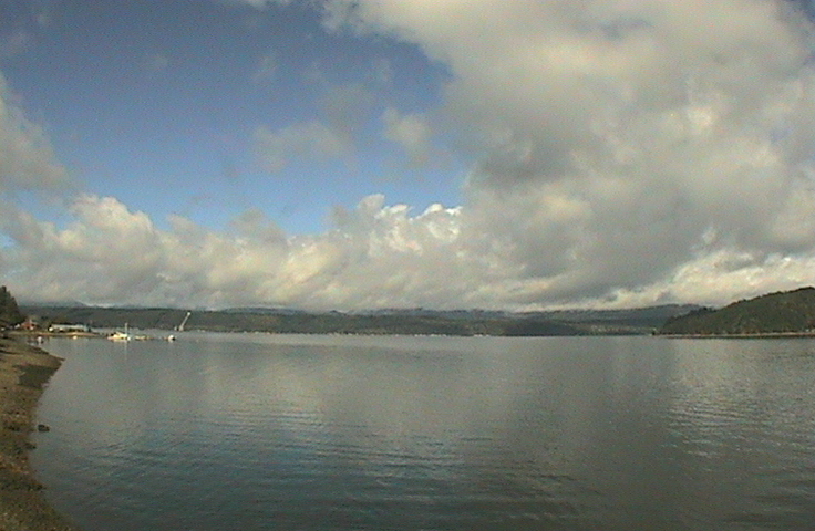
Union on SR 106, looking NW *

Elevation: 400? ft
|
Hood Canal, Union on SR 106, looking NW *

Elevation: 20 ft
|
Northern WA: SR 530, SR 20 North Cascades Hwy Corridor ..
|
Arlington Airport, I-5 @ MP 206, looking north

Elevation: 150 ft
|
Arlington Airport, I-5 @ MP 206, looking west

Elevation: 150 ft
|
Whitehorse Mtn, looking SW from Darrington, on SR 530 *

Elevation: 550 ft
|
Concrete Airport, MP 88 on SR 20, looking west

Elevation: 280 ft
|
Concrete Airport, MP 88 on SR 20, looking north

Elevation: 280 ft
|
Concrete Airport, MP 88 on SR 20, looking east

Elevation: 280 ft
|
Concrete Airport, MP 88 on SR 20, looking south

Elevation: 280 ft
|
Magic Mtn, Marblemount, on SR 20 *

Elevation: 780 ft
|
North Cascades NP, Newhalem, MP 120 on SR 20 *

Elevation: 560 ft
|
Mazama, Freestone Inn, MP 178 on SR 20 *

Elevation: 2200 ft
|
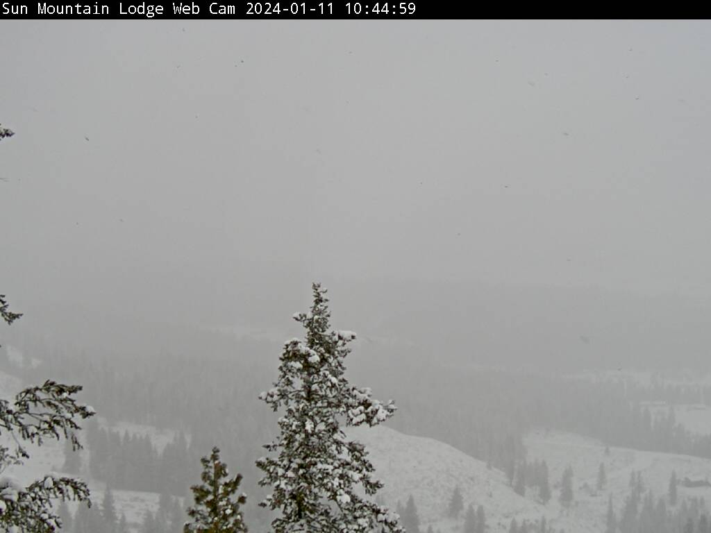
Sun Mtn Lodge, Winthrop on SR 20 *

Elevation: 2800 ft
|
View looking west from Patterson Mtn *

Elevation: 3500 ft
|
Winthrop on SR 20, looking NE from Patterson Mtn *

Elevation: 3500 ft
|
Methow Valley Airport on SR 20, looking SE from Patterson Mtn *

Elevation: 3500 ft
|
McClure Mtn and Twisp, looking SE from Patterson Mtn *

Elevation: 3500 ft
|
Methow Valley Airport, south of Winthrop on SR 20, looking west

Elevation: 1700 ft
|
Methow Valley Airport, south of Winthrop on SR 20, looking NW

Elevation: 1700 ft
|
Methow Valley Airport, south of Winthrop on SR 20, looking SE

Elevation: 1700 ft
|
Methow Valley Airport, south of Winthrop on SR 20, looking south

Elevation: 1700 ft
|

Elevation: 4020 ft
|
Loup Loup Ski Bowl Base off SR 20 *

Elevation: 4080 ft
|
Loup Loup Ski Bowl Top *

Elevation: 5250 ft
|
USFS Pasayten Cam at Loup Loup Ski Bowl *

Elevation: 5250 ft
|
VLBA Radio Telescope Site, NE of Brewster off US 97

Elevation: 850 ft
|
Mansfield on SR-17 @ MP 112

Elevation: 2160 ft
|
Riverside on US-97 @ MP 299

Elevation: 920 ft
|

Elevation: 1000 ft
|

Elevation: 1000 ft
|
Sherman Pass on SR-20 @ MP 320

Elevation: 5600 ft
|
Laurier on US-395 @ MP 275

Elevation: 1640 ft
|
Laurier on US-395 @ MP 275

Elevation: 1640 ft
|

Elevation: 1600 ft
|

Elevation: 1600 ft
|
Colville Airport on SR-20, looking SW

Elevation: 1880 ft
|
49° North Ski Area, Base, east of US 395 *

Elevation: 3950 ft
|
49° North Ski Area, Summit, east of US 395 *

Elevation: 5800 ft |